


For World Wetlands Day:
(comments: 0)
New european Wetland Map!
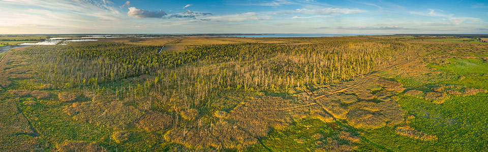
02/02/2025 Just in time for World Wetlands Day a new European Wetland Map shows Europe's peatlands, floodplains and coastal wetlands more comprehensively than ever before in one map. Compiled from about 200 data sources, this map informs policy makers, land users and anyone interested in wetlands not only about their distribution and types, but also, for example, about potential areas at risk of flooding. Users can freely download the European Wetland Map, published in a collaboration with the projects ALFAwetlands, WET HORIZONS and Building a European Peatlands Alliance, for their own analyses. A vector dataset on the geographical distribution of the wetlands considered is available on a country basis in an ArcGIS geodatabase as well as a country-specific high resolution Geo-TIFF collection (grid size: 1 arcsecond).
Background: The World Wetlands Day (WWD)
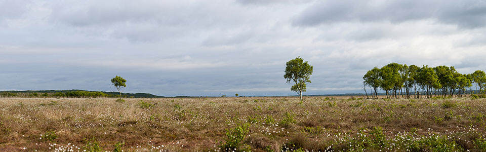
This day has been drawing attention to the importance of wetlands, including peatlands, on February 2nd every year since 1997. The Ramsar Convention, the international agreement for the protection of wetlands, was adopted on February 2nd in 1971. Since 2021 the WWD has been recognized as an international day by the United Nations. Therefore, their restoration and protection is important. Due to pollution, drainage and agriculture, fires and overfishing, wetlands, which include peatlands, are under threat worldwide or have already been destroyed. Yet they are guarantors of biodiversity and climate protection. Among other things, wetlands offer people protection from drought and flooding, purify water and regulate the microclimate. In Germany, 95% of former wetlands have been drained and are no longer recognizable as such today.